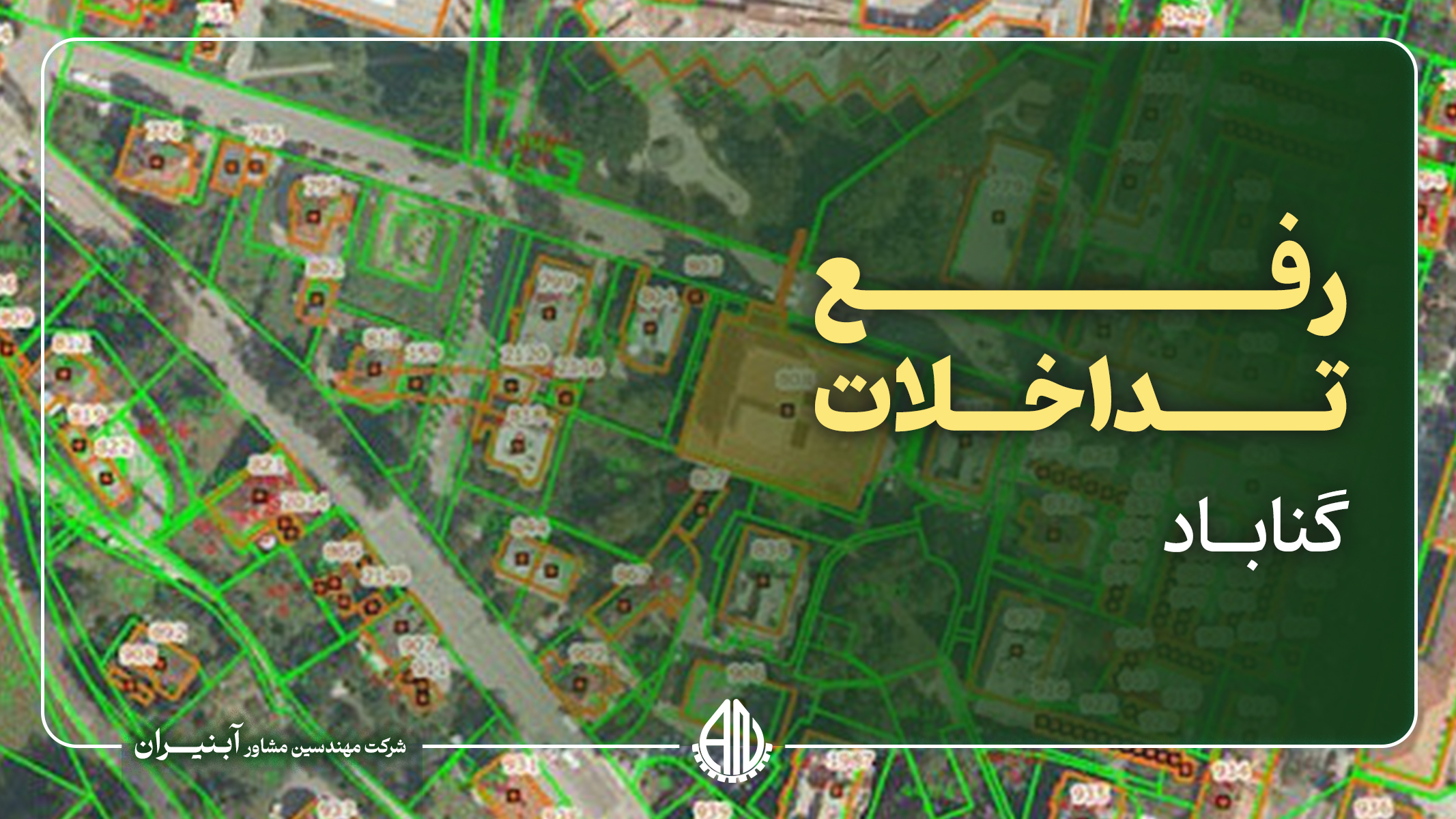
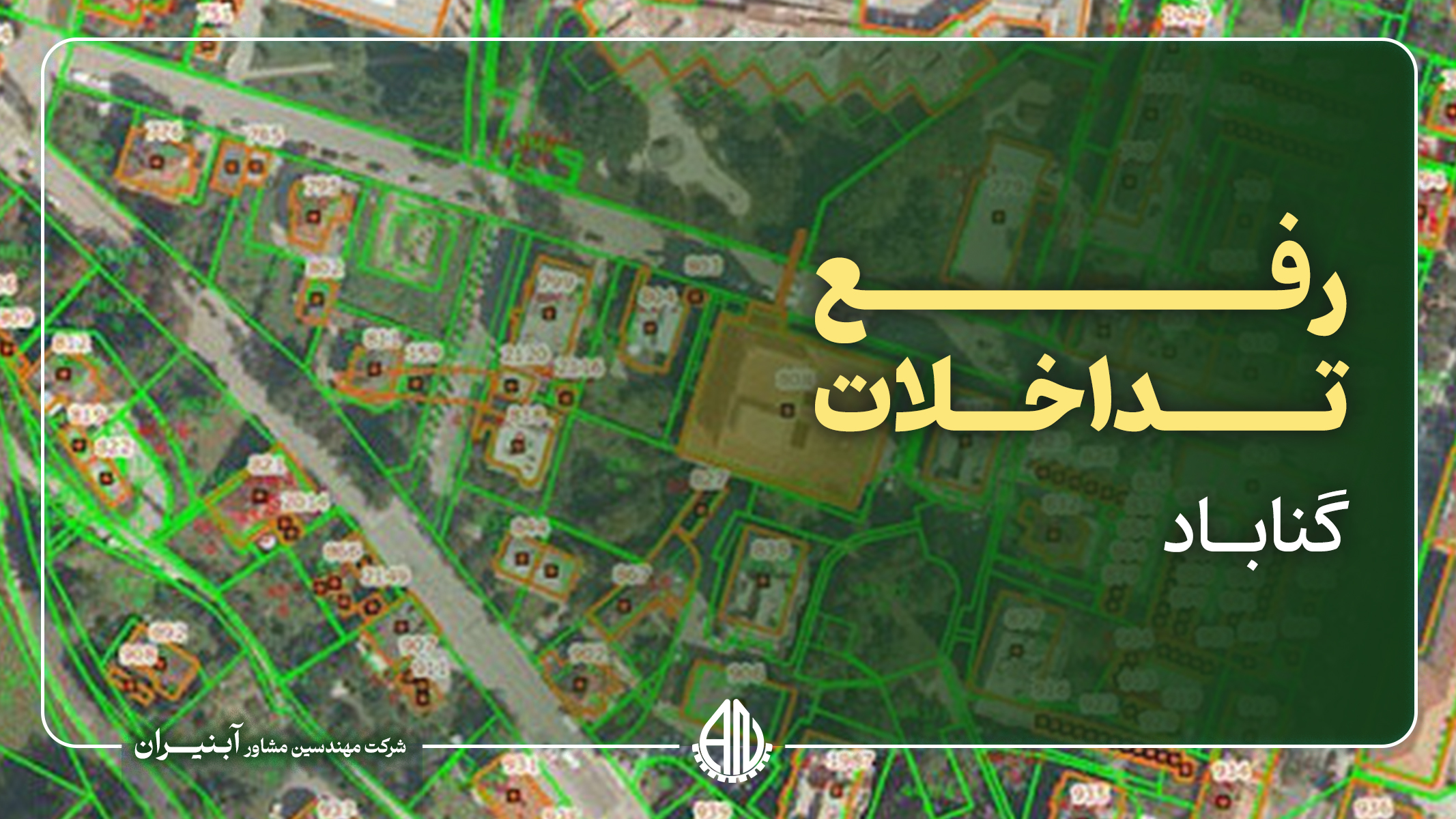
Gonabad city's land interference removal project is carried out with the aim of improving and clarifying the ownership and use of agricultural lands and natural resources with an area of 9764 hectares. Land conflicts mean legal and spatial disputes between agricultural lands and natural resources, which lead to legal problems and lack of transparency in the management and exploitation of these lands. In this project, using accurate mapping data and modern technologies such as GPS and GIS, the real boundaries of properties and lands are determined in order to prevent disputes and illegal encroachments while accurately determining boundaries and ownership. The purpose of implementing this project is to create transparency in land ownership, prevent unauthorized occupations, and facilitate the issuance of ownership documents. This action will also increase the legal security of the owners, improve agricultural productivity and facilitate the development planning of Gonabad city. Reviewing and determining the exact boundaries of lands in compliance with legal principles and in coordination with relevant institutions helps to reduce tensions and social disputes related to lands and improve the management of natural resources.