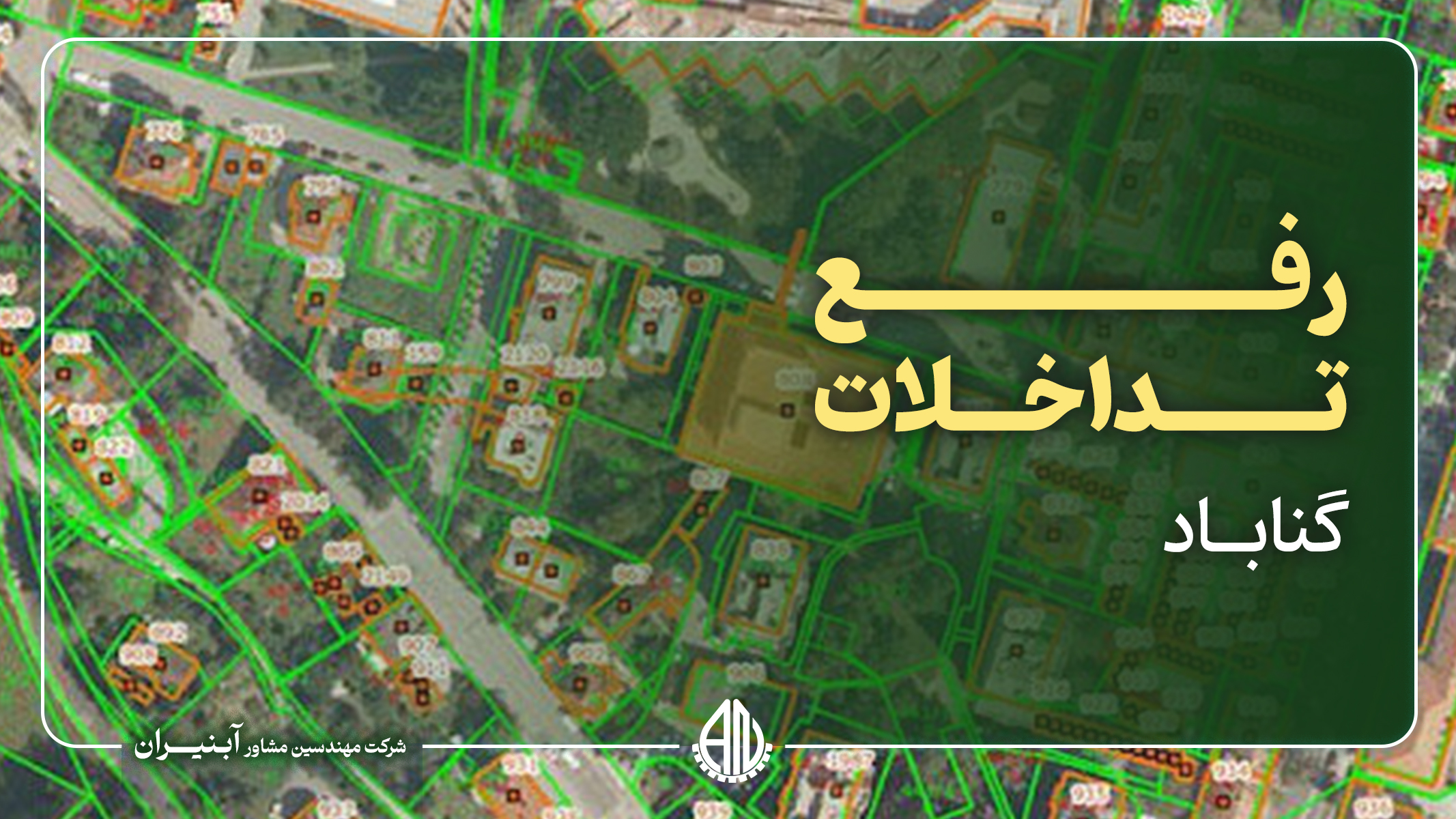
The Gonabad land conflict resolution project, which includes 34 registration plates, is implemented in order to resolve disputes related to ownership and determine the legal boundaries of land in this area. In this project, by carefully checking and updating cadastral information, including registration maps and ownership documents, problems and disputes related to property and land boundaries will be resolved. Advanced technologies such as satellite positioning systems (GPS) and geographic information system (GIS) are used to accurately determine the boundaries of license plates and correct existing interferences. The main goal of this project is to reduce legal problems and disputes caused by border conflicts between different lands. Eliminating the interference of these 34 license plates will lead to legal security for the owners, improve the accuracy of cadastral information, and facilitate the issuance of ownership documents. Also, this project will help to improve land management processes, sustainable agricultural development, and increase public trust in executive institutions in Gonabad city.