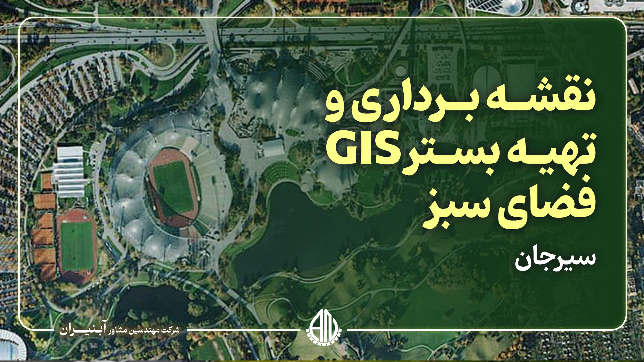
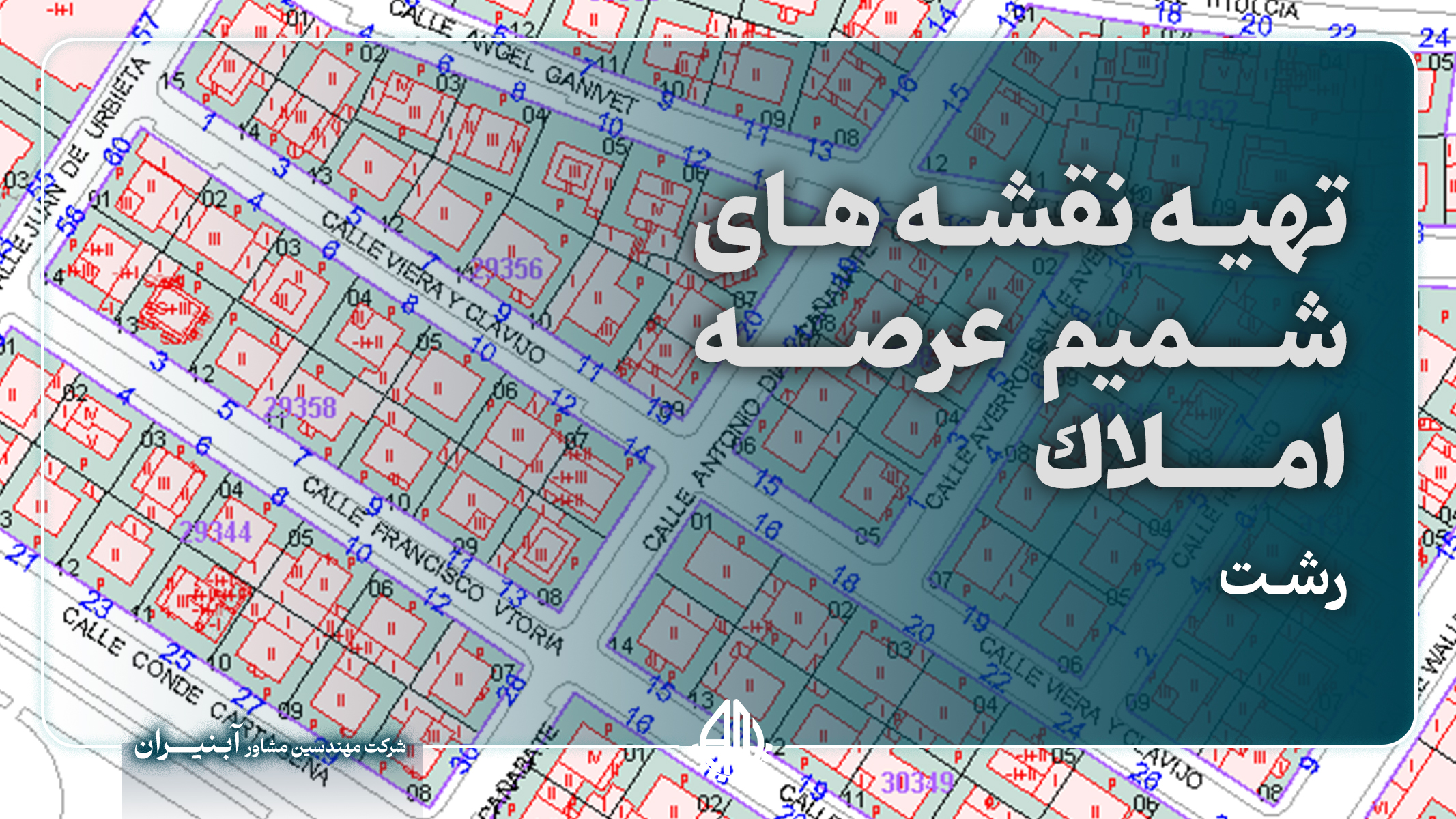
The project for mapping and creating a GIS platform for the green spaces of Sirjan city was aimed at establishing a comprehensive and precise database for the management and maintenance of urban green areas. In this project, all green spaces, including parks, gardens, boulevards, and squares, were accurately mapped, and information such as geographic location, plant types, area, and water requirements for each region was collected. The use of Geographic Information System (GIS) in this project facilitates better management and optimization of water resources and the maintenance of green spaces. The GIS platform serves as a powerful tool that helps the Sirjan municipality analyze up-to-date data and implement irrigation, maintenance, and green space development plans accurately and efficiently. This system allows for spatial and temporal data analysis, leading to reduced operational costs, improved resource efficiency, and enhanced quality of urban green spaces. The execution of this project has provided the necessary infrastructure for smart management of Sirjan's green spaces.