logologo

Menu

  • Home
  • About

    About Company

    CEO's Message

    Our Team

  • Departments
  • Education
  • Working Fields
  • Projects
  • News
  • Contact Us
Search
Change Language

Contact Us

Head office : South Khorasan - Birjand - 26 Towhid St. - No. 3

05632047215

05632047154

9718753489

Info@abniran.com

Telegram
Eitaa
Email

Fast Access

About Us

Departments

Contact Us

Location

All rights reserved by Abniran Consulting Engineers.

Created by Amir Mohammad Akbarpour
HomeDepartmentsUrban planning and Architecture

Building

Building

Building

Construction expertise deals with the design, construction, supervision and management of construction projects and includes all stages from preliminary studies to project implementation and final delivery. Based on engineering principles and safety standards, this area includes the construction of residential, commercial, office and industrial buildings and includes key activities such as structural design, technical calculations, implementation of facility systems, and monitoring the quality of materials and construction safety. Also, the construction expertise pays attention to the use of new technologies such as sustainable construction, green materials and smart systems in order to increase the quality and durability of projects and reduce environmental effects in addition to optimizing energy consumption.

Secretary Of Specialization

Mohsen Khatibinya

Mohsen Khatibinya

Ph.D. in Civil-Structural Engineering

Get Resume

Projects

Studies on the design of the water transmission line for the green spaces of Khusf city

The project of designing the water transmission line for the green spaces of Khosf city was implemented with the aim of providing sustainable water for the irrigation of urban green spaces in a region with a dry and water-scarce climate. This project is designed to improve the quality of green space and increase efficiency in water consumption. In the stage of preliminary studies, the available water sources, such as surface and underground water, were evaluated in order to choose an optimal path for water transfer with minimal resource loss. One of the key aspects of this project was the use of new technologies and intelligent control systems that help manage water consumption more accurately and minimize its wastage. In the design of the transmission line, resistant and high-performance pipes and equipment are used to ensure compatibility with the climatic and environmental conditions of the region in addition to reducing maintenance and operation costs. The design of this system is such that it meets the needs of green space development in the city while reducing operational costs and optimizing water consumption. Also, special attention has been paid to preserving natural resources and reducing the pressure on the water resources of the region, so that this transmission line acts as part of a comprehensive plan for sustainable management of water resources in the region.

Studies on the design of the water transmission line for the green spaces of Khusf city

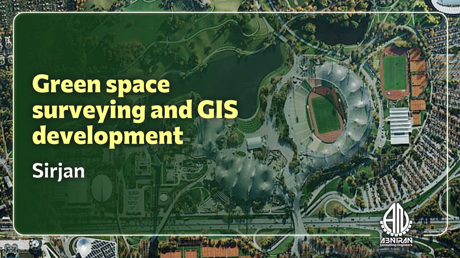
Mapping and preparation of GIS platform of green space of Sirjan city

The project for mapping and creating a GIS platform for the green spaces of Sirjan city was aimed at establishing a comprehensive and precise database for the management and maintenance of urban green areas. In this project, all green spaces, including parks, gardens, boulevards, and squares, were accurately mapped, and information such as geographic location, plant types, area, and water requirements for each region was collected. The use of Geographic Information System (GIS) in this project facilitates better management and optimization of water resources and the maintenance of green spaces. The GIS platform serves as a powerful tool that helps the Sirjan municipality analyze up-to-date data and implement irrigation, maintenance, and green space development plans accurately and efficiently. This system allows for spatial and temporal data analysis, leading to reduced operational costs, improved resource efficiency, and enhanced quality of urban green spaces. The execution of this project has provided the necessary infrastructure for smart management of Sirjan's green spaces.

Mapping and preparation of GIS platform of green space of Sirjan city

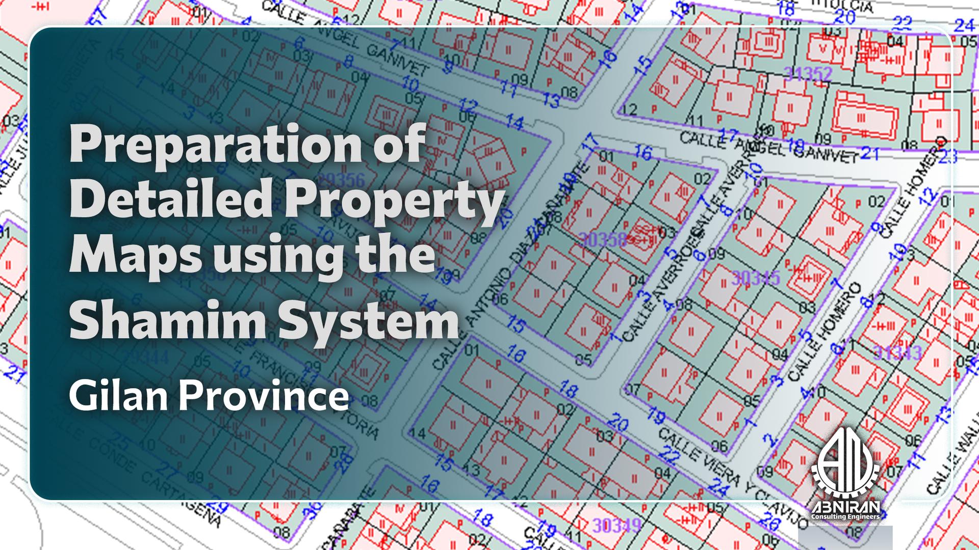
Preparation of Shamim maps of the real estate area of ​​the General Directorate of Islamic Culture and Education of Gilan Province

The project of preparing Shamim maps of the property area of ​​the General Department of Culture and Islamic Guidance of Gilan province is carried out in order to accurately document and standardize the topographic information and mapping of the properties of this department. This project includes the identification, measurement and accurate registration of property boundaries using Shamim technology (property integrated coordinate network). The Shamim system provides access to accurate and coordinated spatial data through GNSS networks, which increases accuracy and reduces mapping errors. The main goal of this project is to create a comprehensive and accurate database of properties belonging to the General Department of Culture and Islamic Guidance of Gilan province, to help improve the management of properties and assets on the one hand, and on the other hand, in legal and administrative processes such as registration, separation , and handing over properties accurately and quickly. The implementation of this project will facilitate management decisions and reduce property disputes.

Preparation of Shamim maps of the real estate area of ​​the General Directorate of Islamic Culture and Education of Gilan Province

Flood Vulnerability and Protection Studies

This project focuses on engineering case studies to assess flood risk and develop protection strategies for the National Housing Movement sites in South Khorasan Province. The study aims to identify potential flood hazards analyze the current topographical and hydrological conditions and evaluate the vulnerability of new residential developments. By examining rainfall patterns, watershed characteristics, and drainage networks, the project assesses flood exposure and proposes practical solutions for risk reduction, runoff management, and the design of protective structures. The ultimate goal is to enhance the safety and resilience of housing settlements and promote sustainable urban development in the face of natural hazards.

Flood Vulnerability and Protection Studies

Flood Vulnerability and Protection Studies

This project focuses on engineering case studies to assess flood risk and develop protection strategies for the National Housing Movement sites in South Khorasan Province. The study aims to identify potential flood hazards analyze the current topographical and hydrological conditions and evaluate the vulnerability of new residential developments. By examining rainfall patterns, watershed characteristics, and drainage networks, the project assesses flood exposure and proposes practical solutions for risk reduction, runoff management, and the design of protective structures. The ultimate goal is to enhance the safety and resilience of housing settlements and promote sustainable urban development in the face of natural hazards.

Flood Vulnerability and Protection Studies

Flood Vulnerability and Protection Studies

This project focuses on engineering case studies to assess flood risk and develop protection strategies for the National Housing Movement sites in South Khorasan Province. The study aims to identify potential flood hazards analyze the current topographical and hydrological conditions and evaluate the vulnerability of new residential developments. By examining rainfall patterns, watershed characteristics, and drainage networks, the project assesses flood exposure and proposes practical solutions for risk reduction, runoff management, and the design of protective structures. The ultimate goal is to enhance the safety and resilience of housing settlements and promote sustainable urban development in the face of natural hazards.

Flood Vulnerability and Protection Studies

Flood Vulnerability and Protection Studies

This project focuses on engineering case studies to assess flood risk and develop protection strategies for the National Housing Movement sites in South Khorasan Province. The study aims to identify potential flood hazards analyze the current topographical and hydrological conditions and evaluate the vulnerability of new residential developments. By examining rainfall patterns, watershed characteristics, and drainage networks, the project assesses flood exposure and proposes practical solutions for risk reduction, runoff management, and the design of protective structures. The ultimate goal is to enhance the safety and resilience of housing settlements and promote sustainable urban development in the face of natural hazards.

Flood Vulnerability and Protection Studies

Flood Vulnerability and Protection Studies

This project focuses on engineering case studies to assess flood risk and develop protection strategies for the National Housing Movement sites in South Khorasan Province. The study aims to identify potential flood hazards analyze the current topographical and hydrological conditions and evaluate the vulnerability of new residential developments. By examining rainfall patterns, watershed characteristics, and drainage networks, the project assesses flood exposure and proposes practical solutions for risk reduction, runoff management, and the design of protective structures. The ultimate goal is to enhance the safety and resilience of housing settlements and promote sustainable urban development in the face of natural hazards.

Flood Vulnerability and Protection Studies

Members

Seyed Mojtaba Moosavi Nejhad

Seyed Mojtaba Moosavi Nejhad

Ph.D. in Civil-Structural Engineering

Ali Arab

Ali Arab

Master's degree in civil-structural engineering

Get Resume

Minoo Mansooriyan

Minoo Mansooriyan

Master of Architectural Engineering

Mohsen Khatibinya

Mohsen Khatibinya

Ph.D. in Civil-Structural Engineering

Get Resume